


Record heat and flash floods are haunting Polish cities. In the face of ongoing climate change, blue-green infrastructure has become one of the key elements in the planning of city centers. Designing its elements, however, is a complicated process, and finished implementations often leave much to be desired. At the University of Warmia and Mazury in Olsztyn, however, a method has been developed that can make this task easier - and satellites will help.
The effects of climate change are particularly hard on urban residents. Some of the most acute afflictions of heavily urbanized areas are the phenomena of urban heat islands and flash floods, the dramatic effects of torrential downpours that can put significant parts of cities under water in a matter of hours. For this reason , the design of so-called blue-green infrastructure, which takes care not only of thermal comfort and biodiversity in urban spaces, but also aids in the drainage of water, excess of which is produced after heavy rainfall, is gaining increasing importance in urban planning practice. Magdalena Milert wrote about the blue-green elements of cities for us.

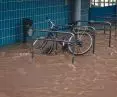
Flash floods can be catastrophic in their consequences
Photo: Mika Baumeister © Unsplash
a tough nut to crack
However,designing such spaces on an urban scale is not the easiest thing to do - planners must take into account not only the effectiveness of the solutions used, but also the existing infrastructure, local development plans, as well as technical conditions and the feasibility of the proposed concepts. And available space in modern cities is scarce. These complicated activities can be facilitated by methods of data compilation, which were developed by Anna Kowalczyk and Szymon Czyż from the Department of Geoengineering at the University of Warmia and Mazury in Olsztyn.
What is the procedure developed by the scientists based on?
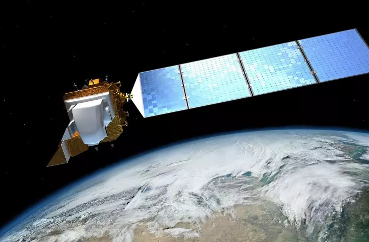
Satellites fly high above our heads every day, recording huge amounts of data about the Earth, including data from the American Landsat 8 satellite. The satellite images are then made available to the public and free of charge. They are a valuable resource for government as well as the private sector. The challenge is to extract from this river of data those most needed and to find practical applications for them. To this end, using the right tools and parameters, sites suitable for blue-green infrastructure can be identified. Each of these sites must meet certain technical and environmental standards and have a social justification.
- Dr. Szymon Czyza said for University News.

Olsztyn scientists propose a method for determining locations for blue-green infrastructure using satellite data
Photo: Mika Baumeister © Unsplash
blue and green in three steps
The state-of-the-art protocol for compiling thermal, demographic and precipitation data is the result of research that Olsztyn scientists published in the Journal of Water and Land Development and Sustainability. The proposed method is based on a joint analysis of three data sets taken from so-called Geographic Information Systems (GIS). The first contains information that rules out the emergence of blue-green infrastructure in specific locations. These are primarily surface water, forests, existing roads and tracks, and buildings.
The next set of data contains information on potential possible locations for several types of blue-green infrastructure - in the latest study these were bioretention ditches, infiltration ditches and green stops. Their characteristics were confronted with weather data, which were taken from the city's National Institute of Meteorology and Water Management station, among others. The final dataset juxtaposes maps of urban heat islands with the demographic structure of each neighborhood.
effective tool
Taking all of the above factors into account, the research team created a map of Olsztyn, which singled out a significant number of places where the implementation of blue-green infrastructure will bring the greatest benefits. According to the results of the latest study, it was possible to identify 1,615 optimal locations for bioretention ditches, 39 for infiltration ditches and 39 for green stops.
Szymon Czyza and Anna Kowalczyk covered Olsztyn with their research, but their proposed method is universal and can be applied in any city. Of course, the design of such an important element of urban spaces as blue-green infrastructure should be based on a detailed analysis of each investment, but the use of the protocols developed by the Olsztyn scientists can help facilitate this process and identify places that no one has yet thought of in terms of blue-green infrastructure.